By Peter Planamente
Is New Jersey getting warmer?
Are hurricanes getting stronger?
Is flooding becoming more common?
Should residents be concerned about these things?
For most of us, it can be hard to make sense of extreme weather. So we decided to ask an expert – in fact, we asked THE expert on New Jersey weather.
Dr. David Robinson is the New Jersey’s State Climatologist and a distinguished professor at Rutgers University. He does research on the weather and climate of the Garden State, including topics such as climate change, drought, and flooding.
Question: Have temperatures in towns along the shore really become warmer?
Dr. Robinson: Yes. Here is a graph showing annual temperatures at the Atlantic City Marina since the station came into existence in 1874. It shows a clear warming trend throughout recent decades.

Q: New Jersey had record rainfall in 2018. Was there a particular cause for that?
Dr. Robinson: Precipitation was quite frequent in 2018. It was not one particular storm, for instance a tropical system, that made things so wet. It was just the frequency of events. The storm track across North America often helped to deliver moisture to the mid-Atlantic states from the Gulf of Mexico, the south Atlantic or just off our coast. Thus, often when it rained, it poured.

Q: Do you think hurricanes will become more frequent for New Jersey in the coming years?
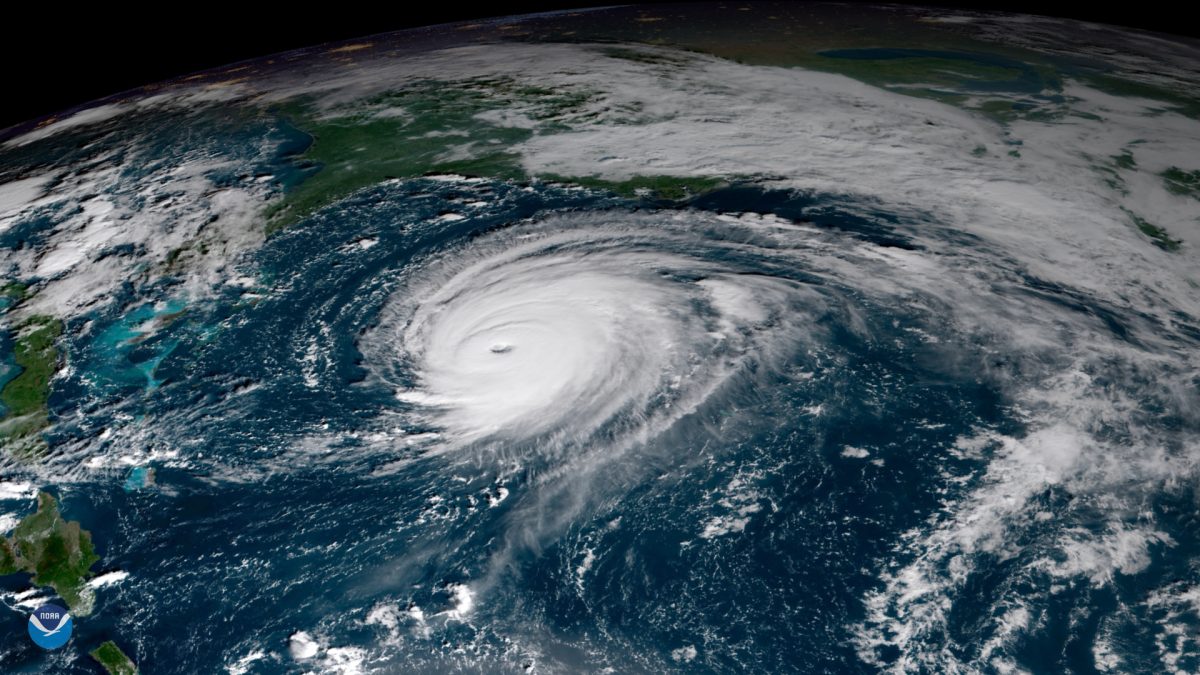
Dr. Robinson: Not necessarily more frequent, but perhaps tropical storms will be stronger upon making it here into the middle latitudes than in the past. This would be due to higher sea surface (and subsurface) temperatures. For instance, because the Atlantic was warmer than average in late October 2012, Sandy was a stronger storm than would have been the case had seas been closer to its seasonable normal. Over two consecutive years of above average air temperatures have helped to warm the waters. However, it is not as if Sandy would not have struck New Jersey had temperatures been normal.
Q: How often does New Jersey see an impact from a hurricane?
Dr. Robinson: Most every year, New Jersey receives some indirect effects from a tropical storm or hurricane. It may be rainfall from a storm that weakened to our south. It could be dangerous surf from a storm passing by well to our east. Or it could be a more direct impact, perhaps on the strong or severe side, like Sandy, Irene and Gloria.
Q: What are the expectations for the 2019 Atlantic hurricane season?
Dr. Robinson: I have heard of any early call from the research group at Colorado State University of a season that will be close to average. It is on the early side to make predictions with much accuracy. And, of course, this does not say if any of these storms will impact New Jersey.
Q: Should coastal towns and cities like Atlantic City be worried about flooding and storm surge with future storms?
Dr. Robinson: Certainly. The past has shown the vulnerability of Atlantic City and vicinity to coastal flooding due to tropical systems or nor’easters. With sea level continuing to rise and the potential for stronger coastal storms in the future, the flooding issue is likely to worsen in the decades ahead.
Q: Any advice for residents along the Shore. What preventative steps should they take for future extremes?
Dr. Robinson: My best advice is to keep a keen eye on the weather and water conditions. I’m speaking on a day to day safety basis – from rip currents to sunburn. Listen to weather forecasts for the coming days. I think that those living along the shore are already cognizant about how to be prepared to deal with extremes, be they now or in the future.
However, it is critically important to listen to local emergency management officials and follow what they recommend. This applies to this day and age and may become even more important in the future.

